ABOUT IRIS
IRIS software, developed by NHAZCA, implements advanced image-processing algorithms for the monitoring of ground and structural displacements and changes.
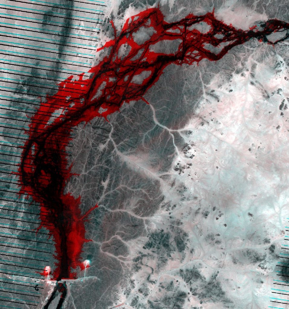
IRIS is conceived to work with terrestrial, aerial and satellite imagery of any datatype (Optical, Thermal, Near-Infrared) allowing to reach subpixel accuracy in displacement monitoring.
CHARACTERISTICS
The software is based on a Graphic User Interface (GUI) and implements several modules with particular attention to the main functions:
Pre-processing:
- images enhancement for better visualization
- export of single bands from multispectral images
- image filtering for noise removal
Manual Processing:
- co-registration
- change detection
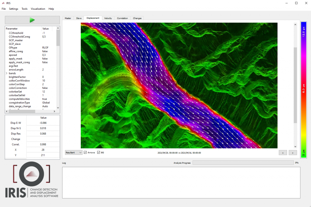
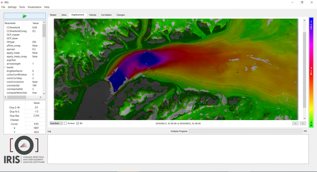
- displacement analysis
- multi-temporal displacement analysis
Automatic Processing:
- pre-selection of images
- automatic co-registration
- change detection
- multi-temporal displacement analysis
- alerting
Post-processing:
- export of results in numerical image format
- result adjustment
- results filtering based on spatial distribution and correlation value
3D merging:
- ingestion of Point Clouds or Digital Model
IRIS SOLUTIONS
FREE TRIAL
The IRIS software is distributed by NHAZCA S.r.l. which provides free licences for research purposes.
NHAZCA provides a Trial license (free of charge), non-exclusive, research-only, non-transferable, with an option to renew the software.
For further details fill out the form.
CONTACT US
If you would like further information about IRIS or a free trial or demo of the software, please contact us.